
Dangerous Heat Is Coming to South Jersey. Here’s What You Need to Know.
If you thought last week’s heat was bad, the weather later this week could be even more dangerous.
(This report is an updated one from Saturday)
Dangerous Heat Is Coming to South Jersey. Here’s What You Need to Know.
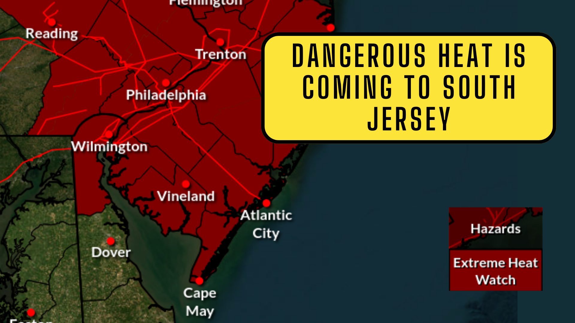
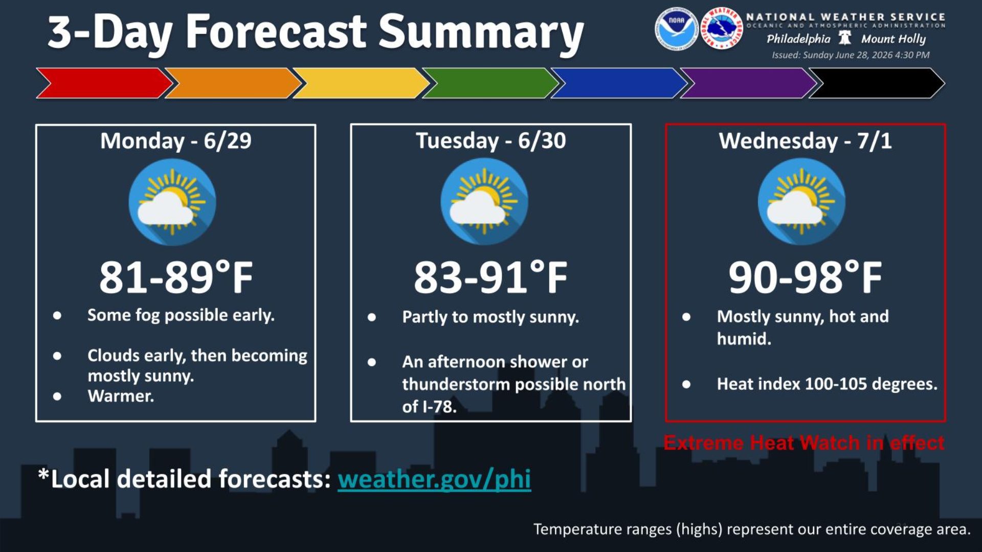
The National Weather Service has issued an Extreme Heat Watch for all of South Jersey from Wednesday afternoon through Saturday evening, warning that some communities could see heat index values as high as 110 degrees. (yes even hotter than our orginal report)
An Extreme Heat Watch means conditions are favorable for a prolonged period of dangerous heat and humidity. While forecasts can still change slightly over the next few days, forecasters are becoming increasingly confident that this will be one of the hottest stretches of weather we’ve seen so far this summer.
 For inland communities across Camden, Gloucester, Salem, Cumberland, Atlantic, Cape May, Burlington, Mercer, Middlesex, Monmouth, Ocean, and Somerset counties, the combination of air temperatures in the upper 90s and oppressive humidity could push the “feels like” temperature to around 110 degrees during the afternoon hours.
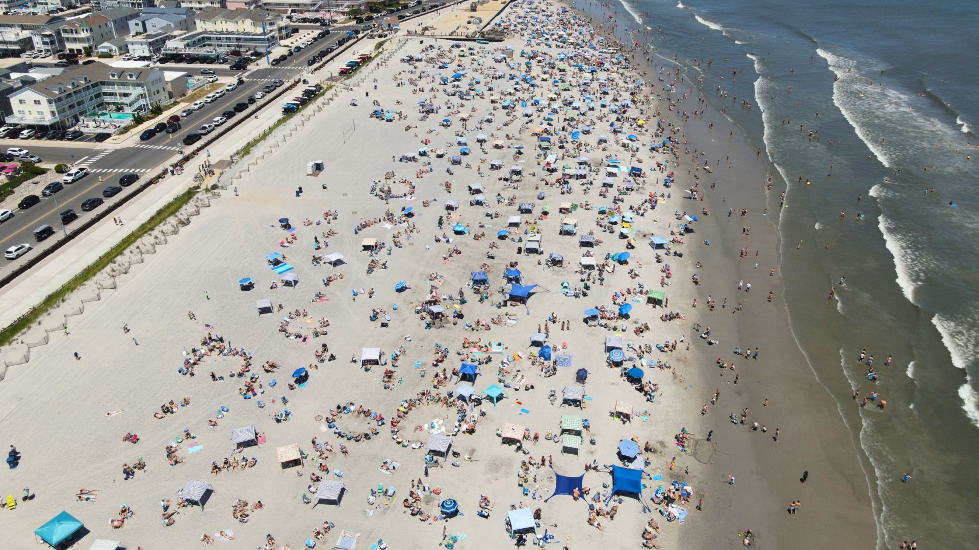
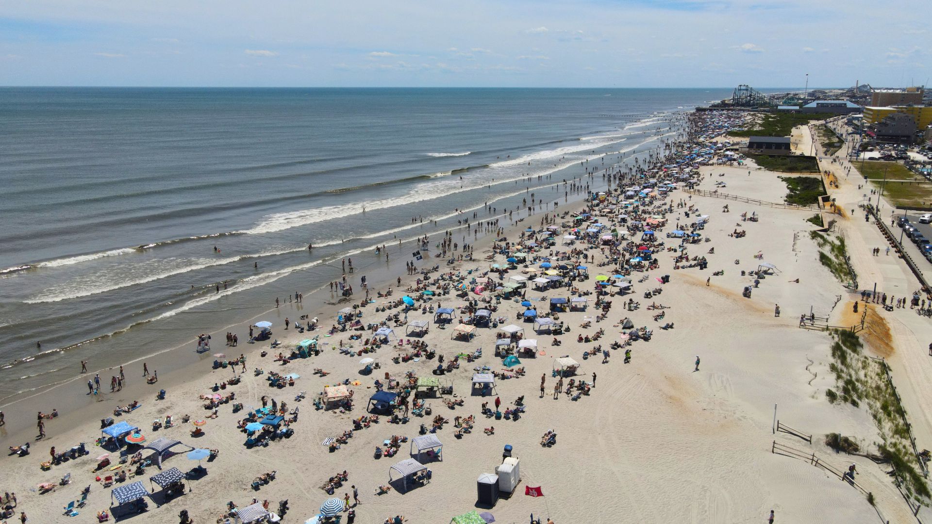
Even if you’re heading to the Jersey Shore to escape the heat, don’t expect much relief. Coastal communities, including Ocean City, Atlantic City, Long Beach Island, and Cape May, are expected to experience heat index values reaching 105 degrees, despite slightly cooler air temperatures thanks to the ocean breeze.
 Some reports showcase that the Wildwoods and Cape May might have the coolest temperatures of the week, which could mean that the Cape May Bubble is working in a different way.
One of the biggest concerns isn’t just how hot it gets during the day, it’s how warm it will stay overnight.
The National Weather Service says nighttime temperatures may only fall into the mid-70s to lower 80s, meaning homes without air conditioning may struggle to cool down.
If you’re planning outdoor activities, working outside, or heading to the beach over the long Fourth of July holiday period, it’s worth taking this forecast seriously.
 PLEASE drink plenty of water before you become thirsty, take frequent breaks in the shade or air conditioning, wear lightweight clothing, and try to avoid strenuous activity during the hottest part of the afternoon.
And a reminder from us, always swim near a lifeguard.
Right now, this is still an Extreme Heat Watch, but if confidence increases over the next couple of days, portions of South Jersey could be upgraded to an Extreme Heat Warning.
The WVA will continue to monitor the forecast and let you know if any additional alerts or changes are issued as this potentially dangerous stretch of weather approaches.
See you on the beach!