
A Heat Wave is Coming to New Jersey – Here Are The Details
The National Weather Service has issued a heat advisory set to take effect on Tuesday for areas along the Interstate 95 corridor, including inland regions north of Brigantine.
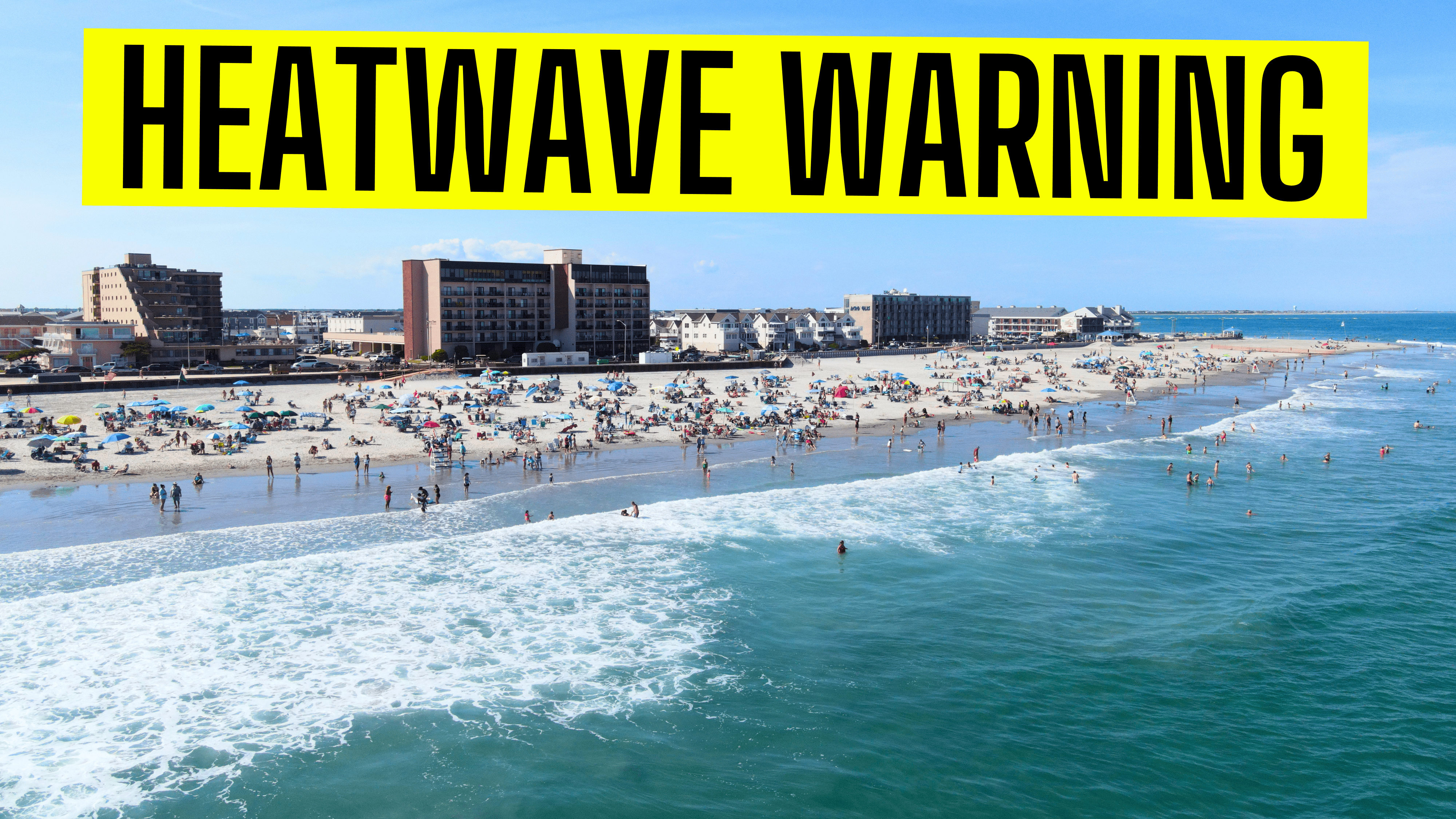
With temperatures forecasted to soar into the mid-to-upper 90s, this heat wave is expected to persist through Saturday.
Heat Advisory and Excessive Heat Watch Details
HEAT ADVISORY NOW IN EFFECT:
- Duration: 10 AM Tuesday to 6 AM EDT Wednesday
- Expected Conditions: Heat index values up to 98 degrees
A Heat Wave is Coming to New Jersey – Here Are The Details
EXCESSIVE HEAT WATCH IN EFFECT:
- Duration: Wednesday morning through Saturday evening
- Expected Conditions: Dangerously hot with heat index values between 100 and 105 degrees
Affected Areas
The advisory and watch cover portions of northern Delaware, central, northern, and southern New Jersey, and southeast Pennsylvania.
Residents in these regions should brace for a prolonged period of extreme heat.
 Impacts and Precautions
Extreme heat and high humidity significantly increase the risk of heat-related illnesses.
With temperatures climbing into the 90s throughout the week and peaking late in the week into the weekend, it’s crucial to take precautions:
- Stay Hydrated: Drink plenty of fluids to prevent dehydration.
- Seek Air Conditioning: Stay in air-conditioned spaces as much as possible.
- Avoid Sun Exposure: Limit your time outside, especially during peak heat hours.
- Check on Vulnerable Individuals: Ensure that relatives and neighbors, especially those who are elderly or have health conditions, are staying cool and hydrated.
 A Look Back: July 2022 Heat Wave
The last time we saw a heat wave hit the Tri-State area was back in July 2022. During that period, Newark, New Jersey, experienced an unprecedented streak from July 20 to 24, with temperatures hitting or exceeding 100 °F (38 °C) every day–the longest such streak on record.
Similarly, Boston set a new record high on July 24, reaching 100 °F (38 °C). When the heat wave finally broke on July 25, the relief brought by a cold front also led to multiple flash flood warnings, underscoring the volatile weather patterns associated with such extreme heat events.
 Additional Concerns
This early season heat wave, combined with its prolonged nature, could lead to increased health impacts and strain on heat-sensitive infrastructure.
Communities should remain vigilant and proactive in mitigating these effects.
Stay tuned to local weather updates and follow the guidance of the National Weather Service to stay safe during this extreme heat event.
 One Additional Thing
As you may have noticed, our waters have been looking very different recently. They are very much more clearer and blue. This is something we broke down in our recent article, “Explaining Why New Jersey’s Waters Have Gotten So Clear“
Since we aren’t expected a ton of rain in the future, we could see this blue stay around a bit longer. Be sure to get to the beaches not only to stay cool but to see the blue waters. They both won’t last too long.