
New Jersey Faces Severe Storm and Tornado Risk Tuesday and Wednesday
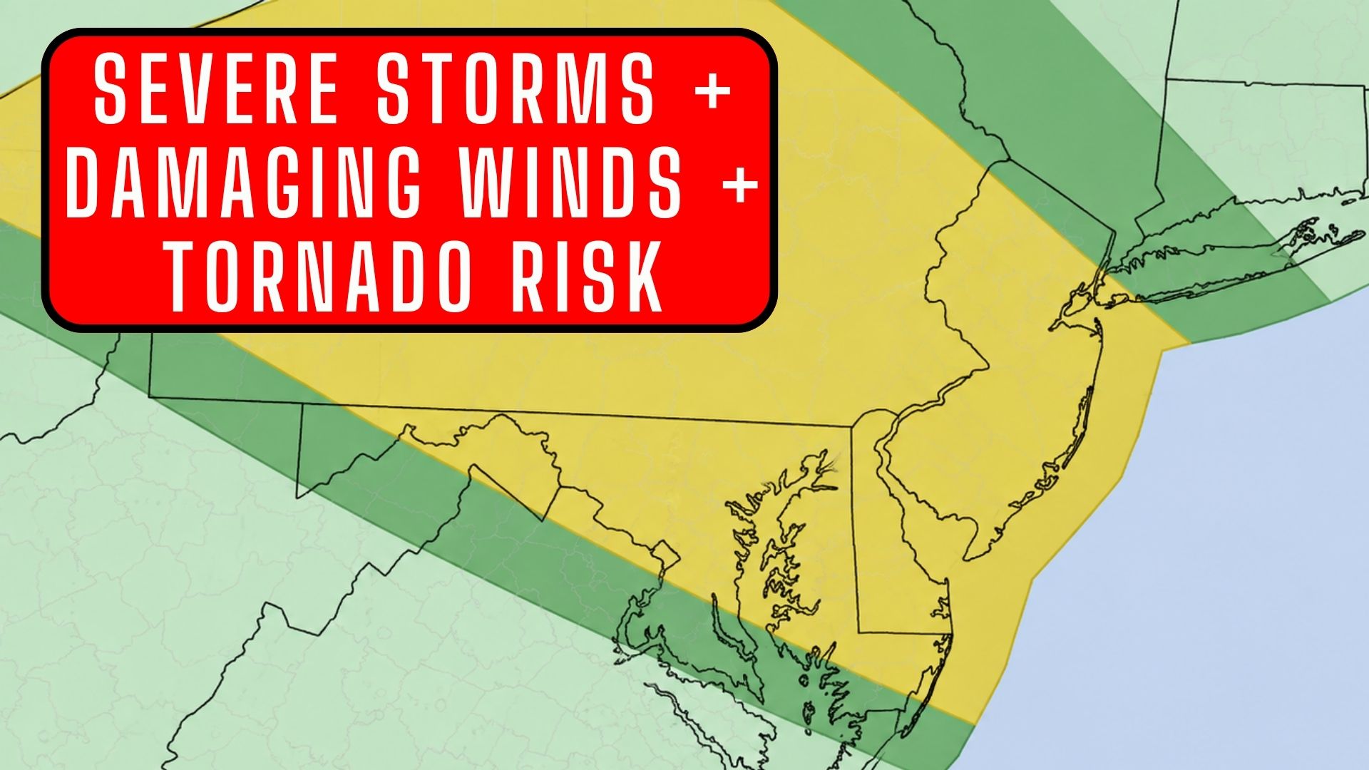
New Jersey could see multiple rounds of strong to severe thunderstorms Tuesday and Wednesday, bringing the potential for damaging winds, torrential rain, flash flooding and even tornadoes.
The National Weather Service is monitoring an increasingly active weather pattern developing across the region as warm, humid air collides with an approaching frontal system.
And timing will be important.
New Jersey Faces Severe Storm and Tornado Risk Tuesday and Wednesday
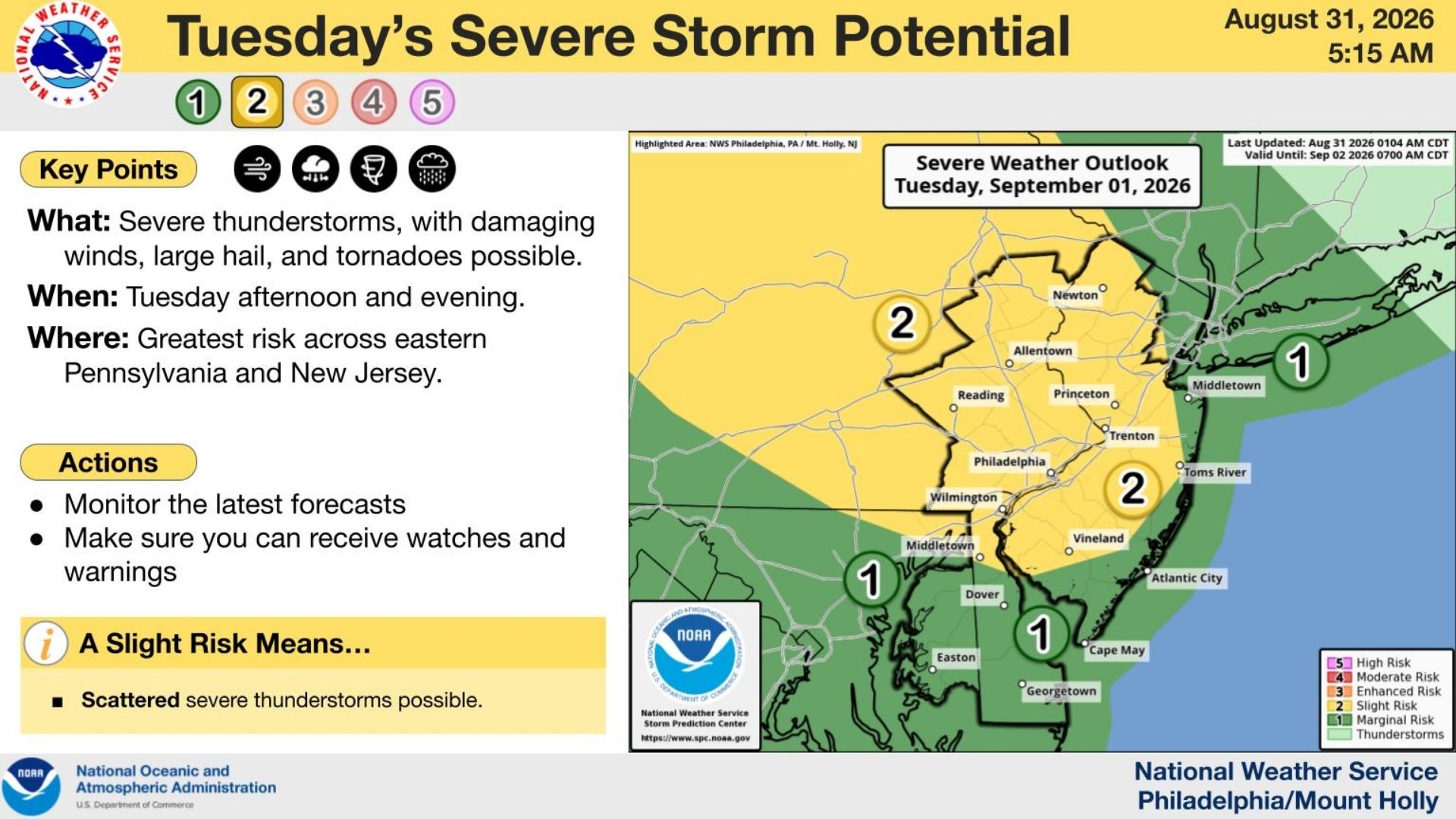
Tuesday: Storms Develop During the Afternoon and Evening
Tuesday will begin mainly dry, but conditions are expected to become increasingly favorable for thunderstorms as temperatures climb and instability builds.
The primary window for storms appears to begin during the mid-to-late afternoon, generally after 3 or 4 p.m., with thunderstorms possible into Tuesday evening.
Not everyone will see severe weather, but storms that become organized could produce damaging wind gusts, torrential rainfall and localized flooding.
There is also a tornado threat if individual thunderstorms are able to develop sufficient rotation.
 Wednesday: Another Round of Severe Weather Possible
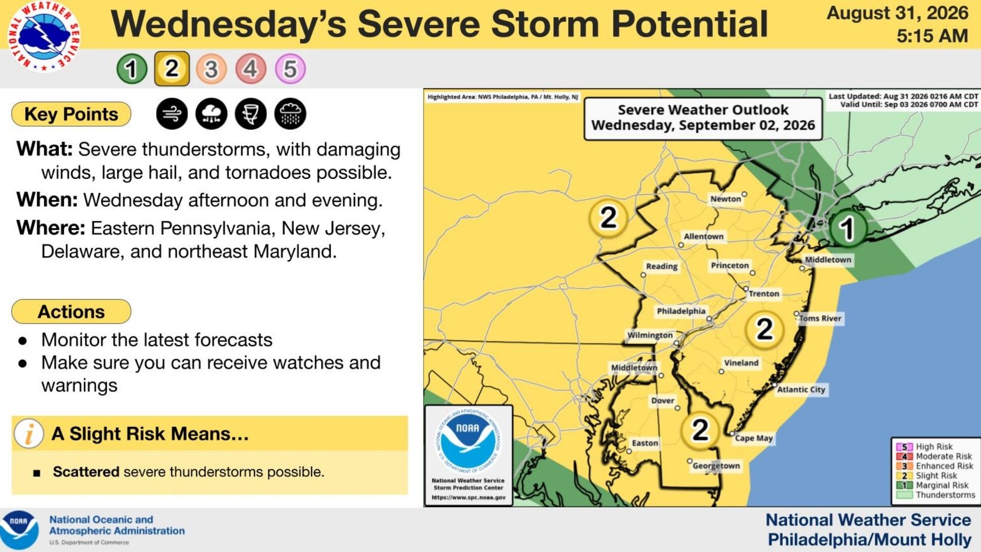
Wednesday could bring another round of thunderstorms, and this is one of the periods forecasters are watching particularly closely.
The greatest concern once again appears to be during the afternoon and evening as a frontal boundary interacts with a very warm, humid and unstable air mass sitting over the region.
Damaging winds will be one of the primary hazards, but large hail and tornadoes are also possible.
The National Weather Service has indicated that a tornado or two cannot be ruled out Wednesday.
Also See: The Wetlands Institute Is Getting a Massive Transformation
 Heavy Rain and Flash Flooding
The other major concern will be flooding.
The atmosphere will contain a significant amount of moisture, meaning thunderstorms could produce extremely heavy rainfall in a short period of time.
There could also be multiple rounds of storms.
If thunderstorms repeatedly move across the same areas, rainfall totals could quickly increase and create localized flash flooding, particularly in poor-drainage and flood-prone locations.
 Why Is This Happening?
A frontal boundary will be positioned near the region while hot and humid air builds across New Jersey.
That warm, moisture-rich air provides fuel for thunderstorms.
At the same time, changing wind speed and direction higher in the atmosphere could allow some thunderstorms to become organized and potentially rotate, which is why tornadoes are part of the severe-weather threat.
The front will also provide a mechanism to repeatedly trigger thunderstorms as it approaches and eventually crosses the region.
This does not mean Tuesday and Wednesday will be complete washouts.
Much of both days could actually remain dry. The greatest concern will come during the afternoon and evening when thunderstorms are most likely to develop and intensify.
Residents should remain weather aware Tuesday afternoon through Wednesday evening and have a way to receive severe thunderstorm, tornado and flash flood warnings.
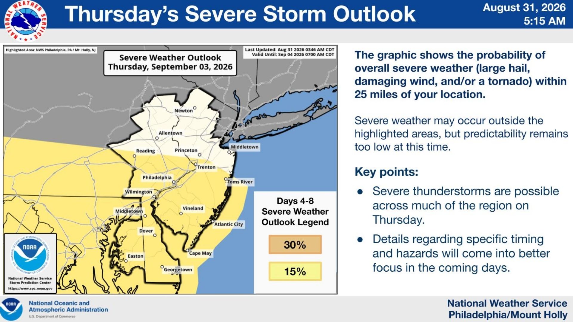
The unsettled pattern could linger into Thursday before the front finally pushes through and cooler, less humid air begins moving into New Jersey ahead of Labor Day weekend.