
Tornado Confirmed in Cape May Point After Tuesday Storms
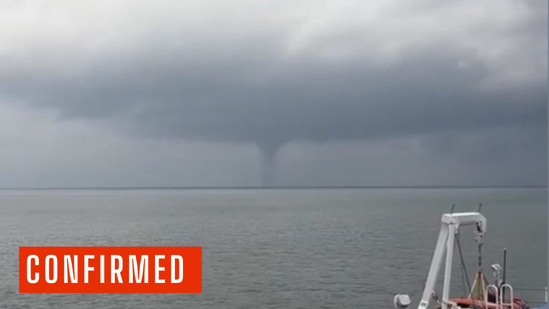
The National Weather Service (NWS) has confirmed that an EF-0 tornado touched down in Cape May Point during Tuesday evening’s severe thunderstorms, making it one of several storm surveys conducted across the region following the July 21 outbreak.
According to the preliminary damage survey released Wednesday by the NWS office in Mount Holly, the tornado touched down at approximately 6:15 p.m. and remained on the ground for about one minute before lifting at 6:16 p.m.
Tornado Confirmed in Cape May Point After Tuesday Storms
Meteorologists estimated peak winds between 60 and 70 mph, placing the tornado at the lower end of the Enhanced Fujita Scale. The tornado carved a path approximately 0.3 miles long and reached a maximum width of 30 yards. Fortunately, there were no injuries or fatalities reported.
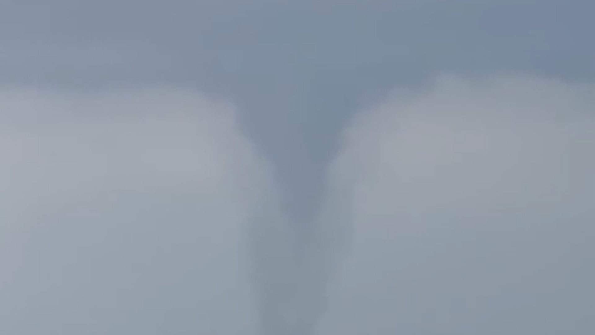
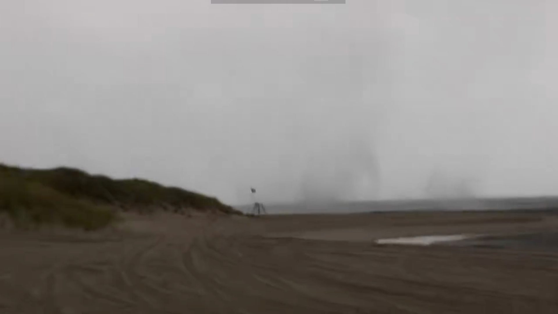
The tornado began as a waterspout over the ocean before moving ashore at Cape May Point. Witnesses observed the rotating column coming onshore from the beach, where it quickly produced a narrow corridor of damage.
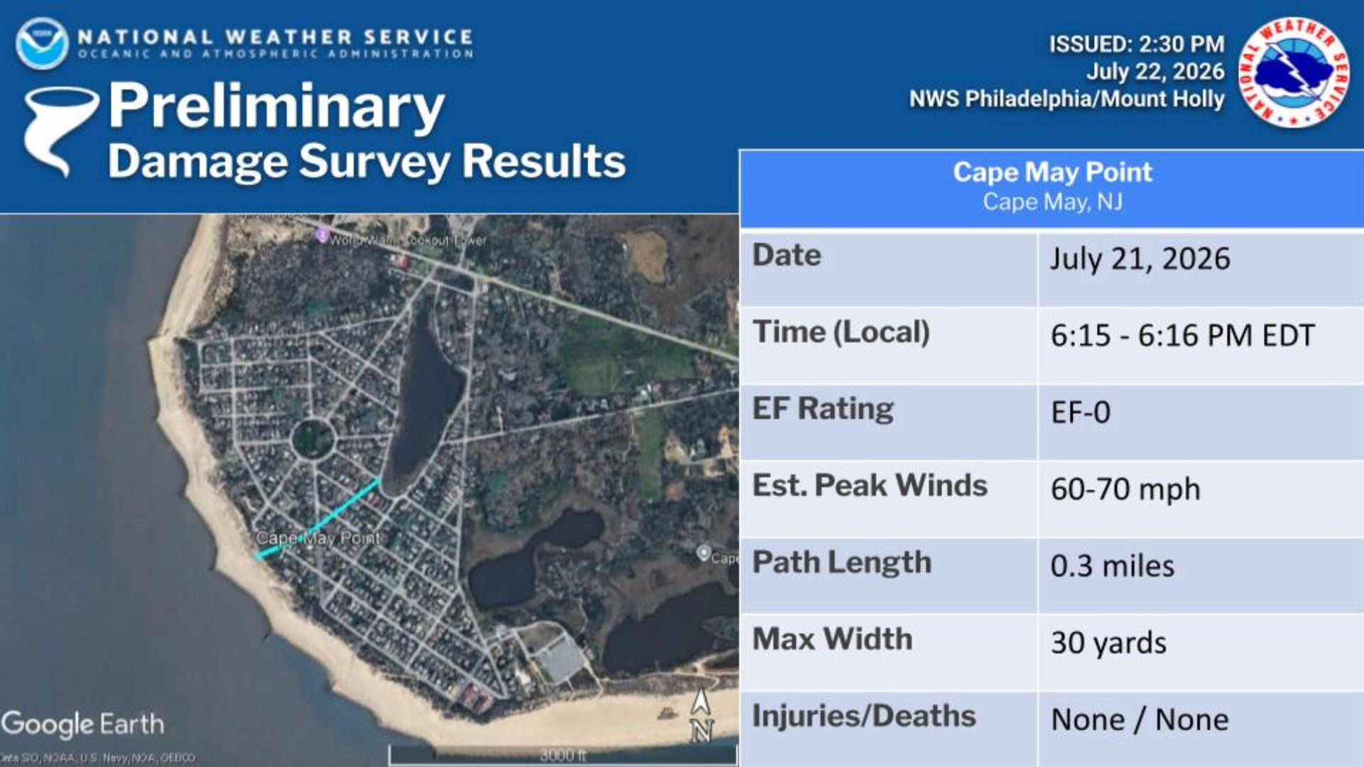 Survey teams documented tree damage along Lincoln Avenue, Yale Avenue, and near the intersection of Oxford Avenue and West Lake Drive. The National Weather Service said at least one witness watched the funnel cloud continue across Lake Lily, although no additional damage was found beyond that point.
Also See: New ‘The Pelican’ Event Venue Coming to North Wildwood
Because the tornado’s path was short and relatively weak, the damage remained limited to scattered trees.
 An EF-0 tornado is the weakest classification on the Enhanced Fujita Scale and typically produces wind speeds between 65 and 85 mph.
While capable of causing damage to trees, roofs, signs, and other lightweight structures, these tornadoes are generally far less destructive than stronger tornadoes higher on the scale.
Tuesday’s tornado developed as strong thunderstorms moved across South Jersey during the late afternoon and early evening hours. The National Weather Service credited county emergency management officials for assisting with the post-storm damage surveys that allowed meteorologists to determine the tornado’s strength and track.
 The survey remains preliminary, meaning the findings could be adjusted after the National Weather Service completes its final review and publishes the event in its official Storm Data records.
Although tornadoes are relatively uncommon in Cape May County, they are not unprecedented. Waterspouts occasionally develop over the Atlantic Ocean during the summer months, and under the right atmospheric conditions, they can move ashore and become tornadoes, as occurred Tuesday evening in Cape May Point.