By now you probably have heard 17 million different snow totals and forecasts for the upcoming snow storm that will take place Wednesday into Thursday.
Here is the latest from the National Weather Service in Mount Holly. Be sure to come back to us through-out the day as we update this information.
Different parts of the state will be feeling different effects of this storm.
At the shore, from Asbury Park to Cape May, a storm/gale watch will take place from Wed afternoon into Thursday morning.
Gale to storm force northeasterly winds with seas building to 10-15 feet for the Atlantic waters up to 5 feet on Delaware Bay. This gusty northeasterly winds will hit30- 40 mph, with gusts of 50+ mph along the Atlantic coastline.
Minor flooding is possible during Wednesday’s high tides with moderate flooding likely for Thursday morning’s high tide
Snow
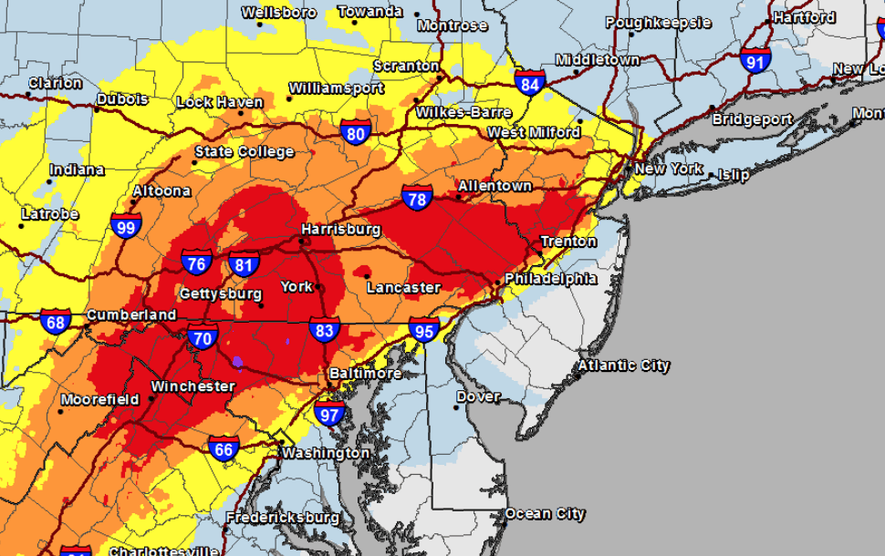
Heavy snow, mixed precipitation, and rain expected to affect the region. Snow amounts could be significant near and north of the I-95 corridor. Snowfall rates could reach 1 to 2 inches per hour for a time late day Wednesday into Wednesday night causing significantly reduced visibility and potentially crippling travel impacts in places. These snow totals range anywhere from 8-12 in Philadelphia to 12-18 in North Jersey.
Those South of 95 in New Jersey could see 1-2 inches with Cape May Country and Atlantic Country mostly getting rain.
Tune back later for more details as this storm seems to be jumping around.
Check out these other Wildwood Videos and Articles