
Nor’easter Takes Aim at Jersey Shore With Flooding with 45 MPH Winds
It looks like Local Summer is over as the cold temperatures are coming in, and now we have a Nor’easter on the way.
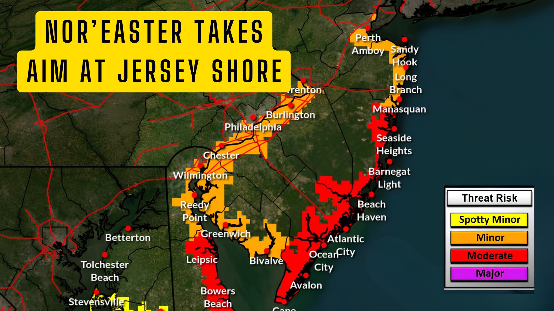
A developing coastal storm is expected to bring several days of rough weather to the Jersey Shore this week, with the National Weather Service warning of coastal flooding, strong winds, dangerous surf and possible beach erosion.
In its latest briefing issued at 6 a.m. Tuesday, September 22, the National Weather Service office in Mount Holly upgraded all Gale Watches to Gale Warnings and issued a Wind Advisory for the Atlantic coast of New Jersey for Wednesday.
For those of us here at the Jersey Shore, the biggest concern may not necessarily be the amount of rain that falls, but rather the combination of persistent northeast winds, rough surf and multiple high tide cycles.
Nor’easter Takes Aim at Jersey Shore With Flooding with 45 MPH Winds
Coastal Flooding Begins Tuesday
The first round of coastal flooding is expected during Tuesday afternoon and evening’s high tide.
The National Weather Service says minor coastal flooding is expected, primarily along the most vulnerable roads and low-lying areas. A Coastal Flood Advisory is in effect from 4 p.m. until 10 p.m. Tuesday.
Conditions are expected to become more concerning beginning Wednesday.
Moderate coastal flooding will be possible from Wednesday afternoon through at least Thursday evening, with impacts potentially continuing into Friday.
According to the National Weather Service, this could result in widespread roadway flooding in coastal and bayside communities and could even cause damage to vulnerable structures. A Coastal Flood Watch is currently in effect from Wednesday afternoon through Thursday night.
The most significant flooding may occur in back-bay areas. The Weather Service specifically highlighted Barnegat Bay and the Shrewsbury River in New Jersey, along with Indian River Bay in Delaware.
Also See: Television Show Filming in Wildwood
 Winds Could Gust Near 45 MPH
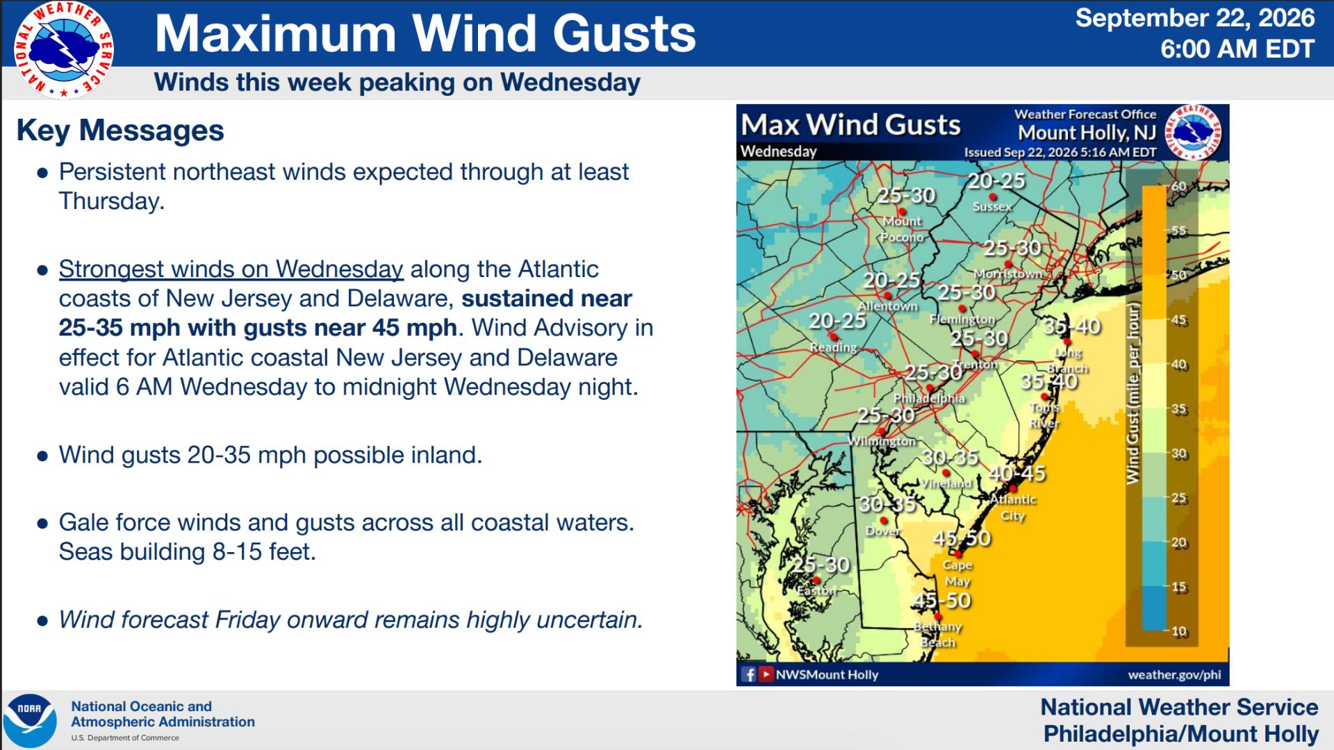
Wednesday is currently expected to bring the strongest winds.
Persistent northeast winds will continue through at least Thursday, with sustained winds of around 25 to 35 mph along the Atlantic coast and gusts approaching 45 mph.
The Wind Advisory for coastal New Jersey will run from 6 a.m. Wednesday until midnight Wednesday night.
Even inland portions of the region could experience gusts between 20 and 35 mph.
Conditions on the ocean will be significantly worse.
Gale-force winds and gusts are expected across the coastal waters, with seas building to between 8 and 15 feet. Gale conditions are forecast beginning Tuesday night and continuing through Thursday, although they could potentially last into Friday or Saturday.
 Dangerous Surf and Beach Erosion Expected
Anyone thinking about heading into the ocean this week should also pay close attention to the warnings.
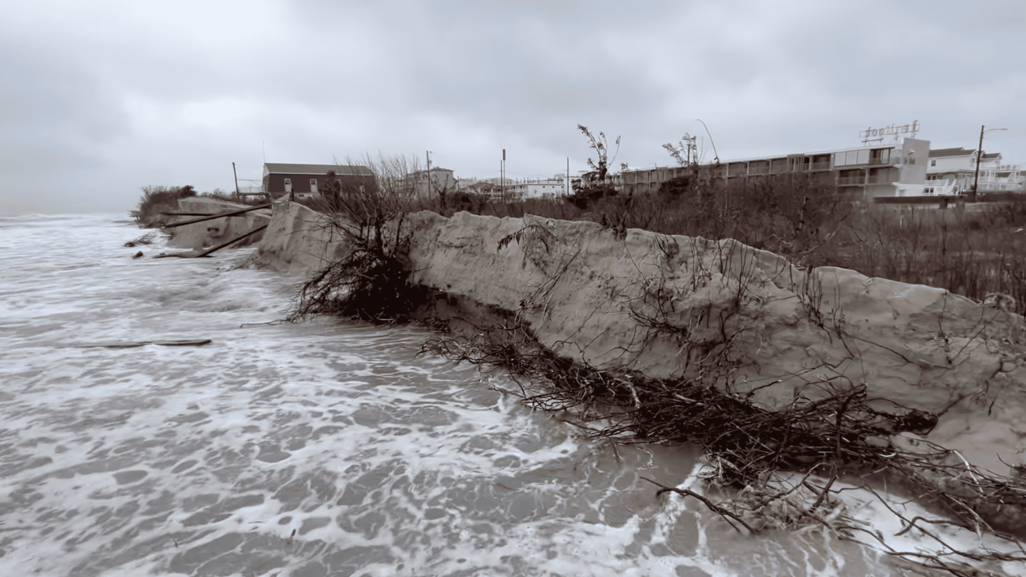
A high risk of rip currents is expected through Friday, while a High Surf Advisory will also remain in effect through Friday. so.. DO NOT GO INTO THE OCEAN!
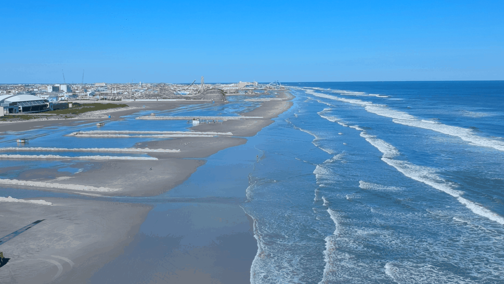
The National Weather Service says dangerous surf is expected and beach erosion is likely.
That will be especially important to watch here in Cape May County, where several days of persistent northeast winds can push water toward the coast and into the back bays.
Flying Over The Flooded / Erosion Damaged Wildwood Beaches
What Happens After Thursday?
This is where the forecast becomes much less certain.
Periods of rain are expected near the coast this week, but the National Weather Service says there is also the possibility of wind and rain spreading farther inland later in the week.
Exactly how significant those impacts become will depend on the track of the developing coastal low.
As of Tuesday morning, forecasters stressed that confidence in the late-week inland impacts remains much lower because the storm’s exact track is still uncertain.
So while you may hear the term “nor’easter” being thrown around over the next few days, the important thing right now is that coastal New Jersey is already facing several tangible hazards regardless of exactly how the storm eventually develops.
For the Jersey Shore, Tuesday begins the first round of tidal flooding, with conditions expected to deteriorate Wednesday as winds increase and the threat of moderate coastal flooding develops.
The National Weather Service is expected to issue its next briefing by 5 p.m. Tuesday, meaning we should have a clearer picture of how the remainder of the week could play out later today.