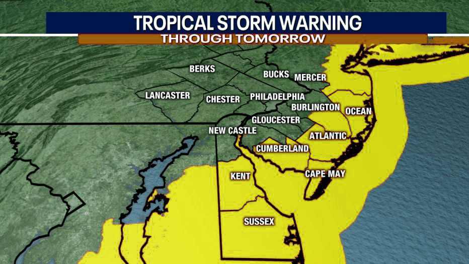
A Tropical Storm Warning has been issued for areas southeast of the I-95 corridor. A Tropical Storm Watch remains in effect for areas along and just northwest of I-95.
The greatest impacts of Isaias are expected early Tuesday morning into Tuesday night.
The primary concern with Isaias remains heavy rain leading to flash flooding. At the Jersey shore there is a potential for 1 to 3 feet of storm surge and minor to locally moderate coastal flooding due to this storm surge. Most rain will occur between tonight and early Tuesday night with areas of NJ seeing rain totals from 2 to 6 inches.
Tropical storm force winds are likely, primarily along and southeast of the I-95 corridor on Tuesday. We are seeing potential wind speeds of 58 to 73 miles per hour. Wind gusts to near hurricane strength are possible near the coast. This could lead to Tree damage and power outages. Isolated instances of structural damage especially near the coast, where wind gusts to near hurricane strength are possible. Be sure to bring in anything that can fly away.
These winds would bring some isolated tornadoes. The main threat of isolated tornadoes would be during the daytime hours Tuesday. The best chance of an isolated tornado will be along and southeast of Interstate 95.
Please keep in mind that before and after the storm there swells will be storm and rip current will be a big risk. Always swim near a lifeguard!